
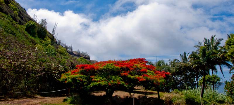
Honokohau Bay
Maui Quick Links
-
Honokohau Bay
-

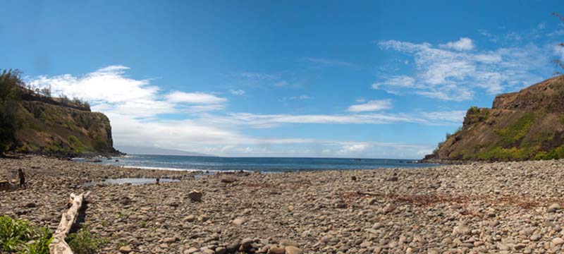
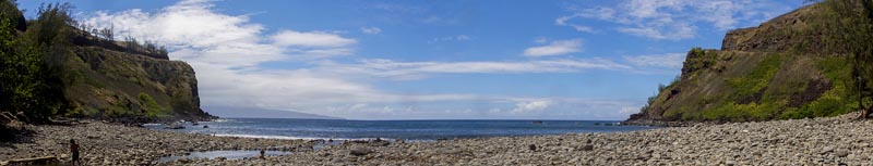
Honokohau Bay Rocky Beach
-
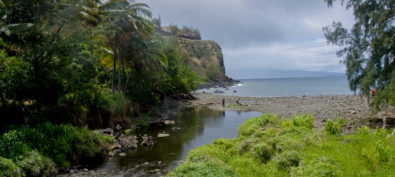
Honokohau Bay Stream
-
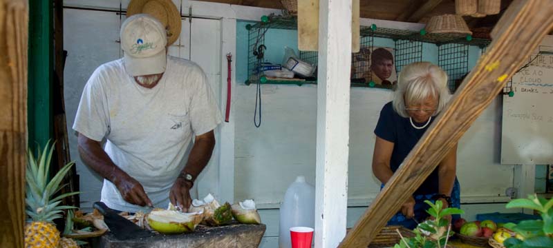
Honokohau Bay Preparing coconut drinks
-
Honokohau Bay South of Entrance
-
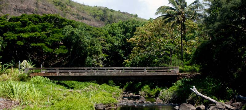
Honokohau Bay Bridge across the road
-
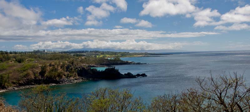
Honokohau Bay looking south
 Honokohau Bay is easy to find near mile marker 36 on the Honoapiilani Hwy north of Honolua Bay. This small pretty bay also known as boulder beach as the shore is very rocky. The ocean bottom in the bay is also very rocky and rip currents can occur, so the bay is not suitable for swimming or snorkeling . but is the weather has been calm you can carefully swim out to the reef for some pretty good snorkeling. Be careful as there are no life guards.
There is a small shop serving fresh coconut milk, juices and other treats, making it a good place to stop and explore.
Honokohau Bay is popular among surfers in the winter months. So when the surf is up it can get crowded here and there is only a small parking area. the waves can really good here but should only be attempted by seasoned, experienced snorkelers
On the southern end of the bay, the Honokohau Stream flows into the ocean. During and after heavy rainfall the area is prone to flooding (and muddy water). The bay is backed by sea cliffs.
Honokōhau in Hawaiian means "the bay where waters congregate".
Kaloko-Honokohau National Historical Park in a 1,161-acre property on the west coast of the big island of Hawaii. The park was established in 1978 for the preservation, protection and interpretation of native Hawaiian culture and activities. The name comes from the two mountain-to-sea land divisions encompassed by the park: Kaloko and Honokohau. "Kaloko" means "pond" and "honokohau" means "bay drawing dew."
Kaloko is on the north end of the National Historical Park. It's the site of fishponds built up to 300 years ago. The fish ponds are enclosed from the ocean by a seawall about 750 feet long, 30 feet wide and over six feet high. The ancients built that sea wall by hand with no mortar and it deflects the surf better than most modern concrete constructions. Today there is an important wetland there, critical habitat for the endangered Hawaiian waterbirds and other native species.
- Directions
Located on highway 30 (340) . Drive about 3 miles north of DT Fleming Beach. Look for parking lot at beach after sharp turn ( highway 30 turns into highway 340) - Parking
large dirt parking lot - Restrooms
Porta-Potties - Best For
Surfing in winter, hiking, and fruit drinks.
